Photo credit: Steve Greenberg
Photo credit: Steve Greenberg
Lat:  37.97055 (N 37°58.233') (N 37°58'14.0")   (WGS 84 datum)
Lon:-122.73080 (W122°43.848') (W122°43'50.9")
Lat/Lon notes:
Garmin Nuvi 350 by Steve Greenberg
Elevation: 425 feet.
Comments:
Long existing site, just added 11/29/2010 per new site form from Steve Greenberg.
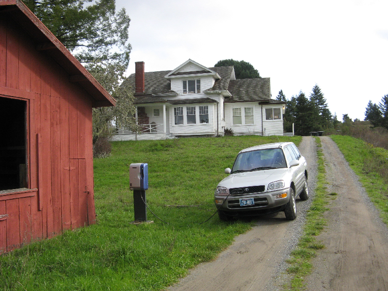
This is one of 5 chargers at the Pt. Reyes National Seashore. The staff has a fleet of RAV4-EVs, and they have priority use of the chargers, but use by the public is tolerated.
Driving directions:
Just west of Highway 1, approximately 2.5 miles north of Dogtown (and south of the Randall Trailhead). Go through gate on dirt road, across small creek, turn left toward "Learning Center Parking". Charger is on left near barn, north of main Learning Center Building.
Go to Google Local for driving directions to/and from any location, and to find points of interest.
How to find the charging station location once you have found the site:
West side of red barn. Mud and grass -- could get very muddy in winter.
Nearby charging locations:
Use the EVChargerMaps system to find nearby charging sites, and to leave comments about this site.
Things to do:
Site is remote between Dogtown and Olema.
Contact information:
Try the seashore HQ at 415-464-5100 x2
663-8522 x2 (local toll-free from 663- or 669- prefix in 415 area code).
Rating:
3 Raters:
Steve Greenberg: 3 for rural appeal, 1 for urban appeal.
Equipment model and serial number info:
TAL/TIC S0310035

Photo credit: National Park Service
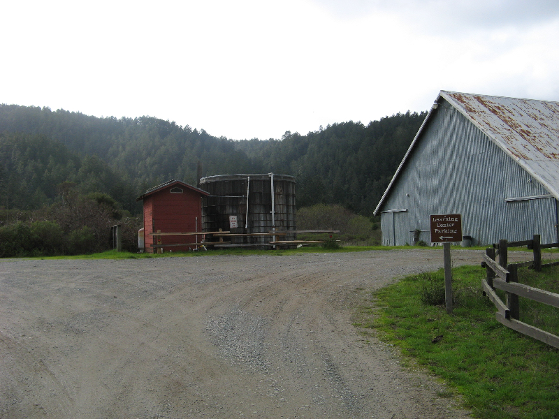
Photo credit: Steve Greenberg
Generated on Sunday, 1/30/2011, at 10:46:03 PM PT from evcnall.fp7.
Revision History:
11/29/2010: new site added.
Do you see any discrepancies or have any information for us about this page?
Please add comments, using the EVChargerMaps system. Click here.